


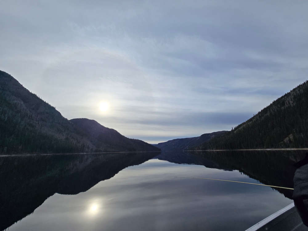
Draft maps for Dawson and the Klondike Valley were available for review from August 12 to September 10, 2025.
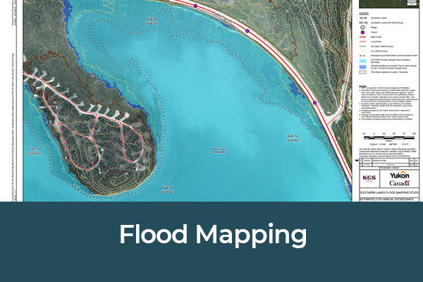
The Yukon Government has released final flood hazard maps for Dawson, the Klondike Valley, and Upper Liard to help residents, First Nations governments, and municipalities plan for flood risk.
The maps outline areas vulnerable to flooding and are intended to support community planning, emergency preparedness, and long-term resilience.
According to a media release, they combine engineering analysis with local knowledge gathered during public engagement. Draft maps for Dawson and the Klondike Valley were available for review from August 12 to September 10, 2025. Upper Liard drafts were open from February 6 to March 2, 2026.
Public feedback shaped the final product. Adjustments were made to mapped extents at Henderson Corner for Dawson and the Klondike Valley based on resident input.
“Local knowledge is essential to understanding how flooding affects communities,” said Environment Minister Wade Istchenko.
The maps are now available at floods.service.yukon.ca
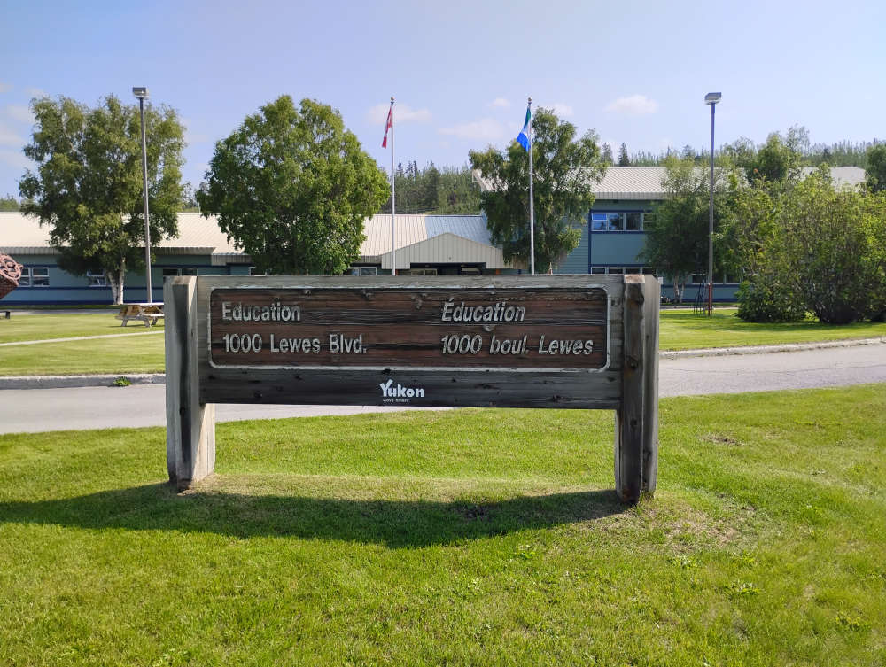 Independent review panel publishes first status report in Department of Education review
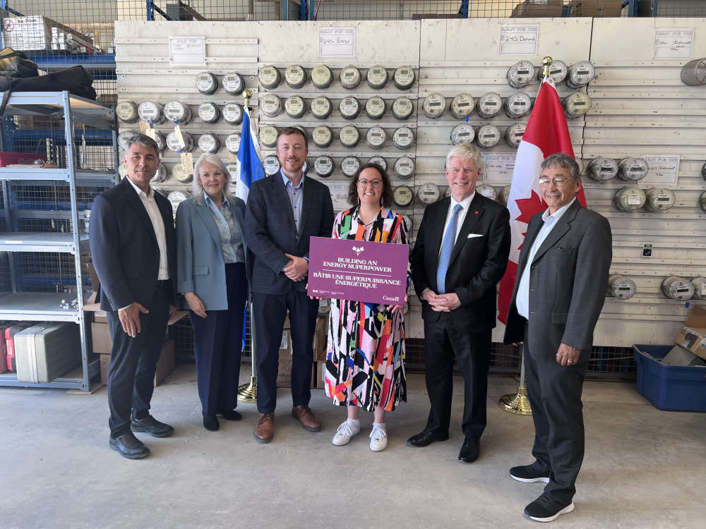 ATCO Electric Yukon Gets $7.5M to Fix Billing Issues with Smart Meters
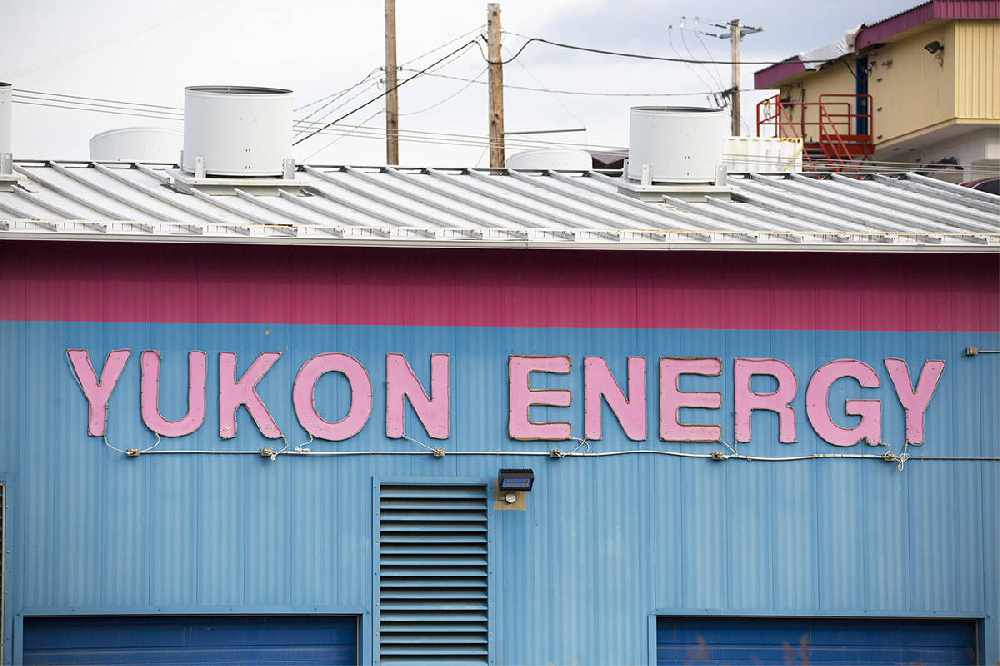 Yukon NDP calls on Yukon government to investigate electricity billing concerns
 Youth investment fund supports 13 community projects across Yukon
 FNNND challenges Mayo Dam spillway project over treaty and fish passage concerns
 First Nation of Na-Cho Nyäk Dun youth benefit as mining firms fund mayo school sports
 BC man convicted of manslaughter
 Hamilton Boulevard trail cleared as winter pilot project wraps up
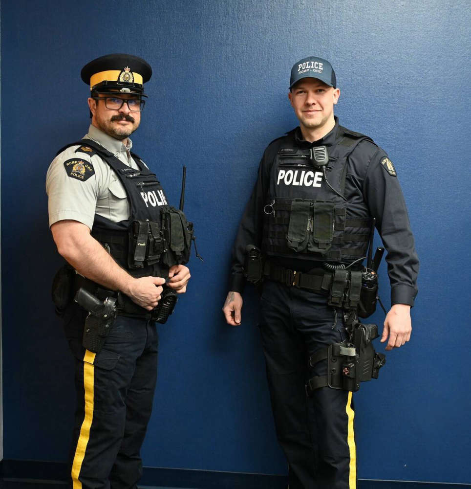 Yukon RCMP roll out new navy-blue uniform shirts
 Inquest into the death of Manui Roux to be held in Whitehorse
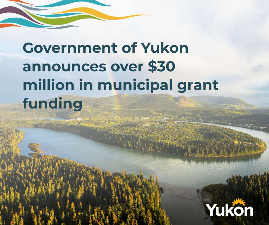 Yukon municipalities to receive record $30 million in funding
 Yukon expands winter electricity relief for residents
 Ross River Dena Council says 'no' to proposed mining on its traditional territory
 LSCFN stands firm: 'No mining in the Breadbasket'
 Yukon Government accepts responsibility for abuse at Jack Hulland Elementary
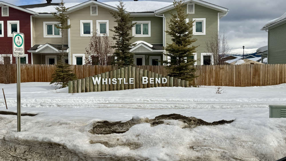 Whistle Bend road connector project gets $8.7M boost from federal government
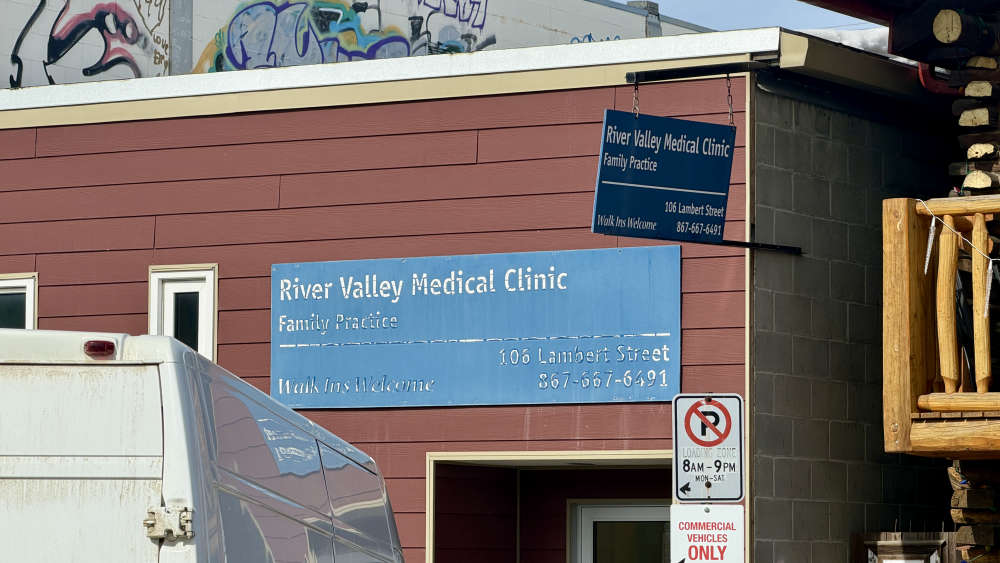 Yukon Government signs deal with Alliance Health for primary care clinic
 Man Missing in Whitehorse: Reuben van Klaveren Sought by RCMP
 Yukon Government passes health authority act amendment amidst first nations concerns